Site Hits: 35,274,690
Site Hits: 35,274,690


Image Source: Agencies
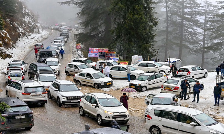
Aug 7, 2025: Before the deadly cloudburst and flash floods that nearly destroyed Dharali village in the Uttarkashi district of Uttarakhand on Tuesday afternoon, several lives could have been saved through evacuation if the July 30-launched NASA-ISRO Synthetic Aperture Radar (NISAR) satellite had been operational now. The 2,393 kg NISAR’s unique dual-band synthetic aperture radar (SAR) will employ advanced, novel SweepSAR technique, to provide high resolution and large swath imagery, and will scan the entire globe to provide all-weather, day & night data at 12-day intervals. Ground deformation, storm characterization, ice sheet movements and sea ice classification, changes in soil moisture, mapping and monitoring of surface water resources, vegetation dynamics, shoreline monitoring, and disaster response are just a few of the small changes in the Earth's surface that NISAR can detect. NISAR, carrying the dual-band SAR involving L- & S-Band SAR, is a global, microwave imaging satellite capable of acquiring fully polarimetric and interferometric data. While the S-band radar system, data handling and high-speed downlink system, the spacecraft and the launch system are developed by ISRO, the L-band radar system, high speed downlink system, the solid-state recorder, GPS receiver, the 9-metre boom hoisting the 12-metre unfurlable reflector, are delivered by NASA.
A senior official from the regional centre of ISRO’s National Remote Sensing Centre – which will collect the S-Band data that NISAR’s radar will capture and relay – said, “Although our work of analyzing the satellite images will increase, getting accurate advance information will be crucial. While advanced information and alerts are shared by various government departments and existing satellites, NISAR data will be several steps ahead. It will post higher-quality, higher-resolution images twice every twelve days of the same location, regardless of weather or sunshine. This will assist in anticipating dangers and sending alerts to village and district administrations. The objective of the $1.5 billion NISAR mission is to provide information that will help in disaster management, infrastructure improvement, responding to climate changes and avert casualties. It will start relaying satellite images captured from the sun-synchronous polar orbit 90 days after it launched.
In these 90 days, the NISAR mission is being dedicated to commissioning, or in-orbit checkout (IOC), to prepare NISAR for science operations. The initial checks and calibrations of mainframe components in the sub-phases of commissioning are followed by engineering payload and instrument checkout at NASA's Jet Propulsion Laboratory (JPL). The science operations phase of NISAR will begin shortly after commissioning and continue for the remainder of the five-year mission. On a daily basis, the Alaska Satellite Facility Distributed Active Archive Center of NASA will handle 85 terabytes of data, the JPL of NASA will receive 35 terabytes, the NRSC Shadnagar Center of ISRO will receive eight terabytes of data, and the Antarctica Center of India will receive crucial data. Better data comprehension and quality will result from the NISAR, which will play a crucial role in preventing catastrophes. The NISAR information can also be superimposed on the data and the images obtained from other sources for even better understanding and implementation, the NRSC official said.
Rajesh NL, Director, Karnataka State Remote Sensing and Application Centre (KSRSAC), said the information on the soil moisture to the depth of 10-15cms will help understand and analyse how predicted rainfall could impact existing locations, which in turn will help in issuing advance warnings to prevent casualties or even crop loss.
Prof Sekhar Muddu, Department of Civil Engineering, Indian Institute of Science (IISc), said there is a list of vulnerable places prone to landslides and other disasters. Through NISAR, information on the saturation of soil moisture, cloud density, and wind flow with precise geocoordinates will be available, allowing for improved planning and management, taking into account the necessity of technological interventions and early identification of weak spots.


Leave a comment: (Your email will not be published)